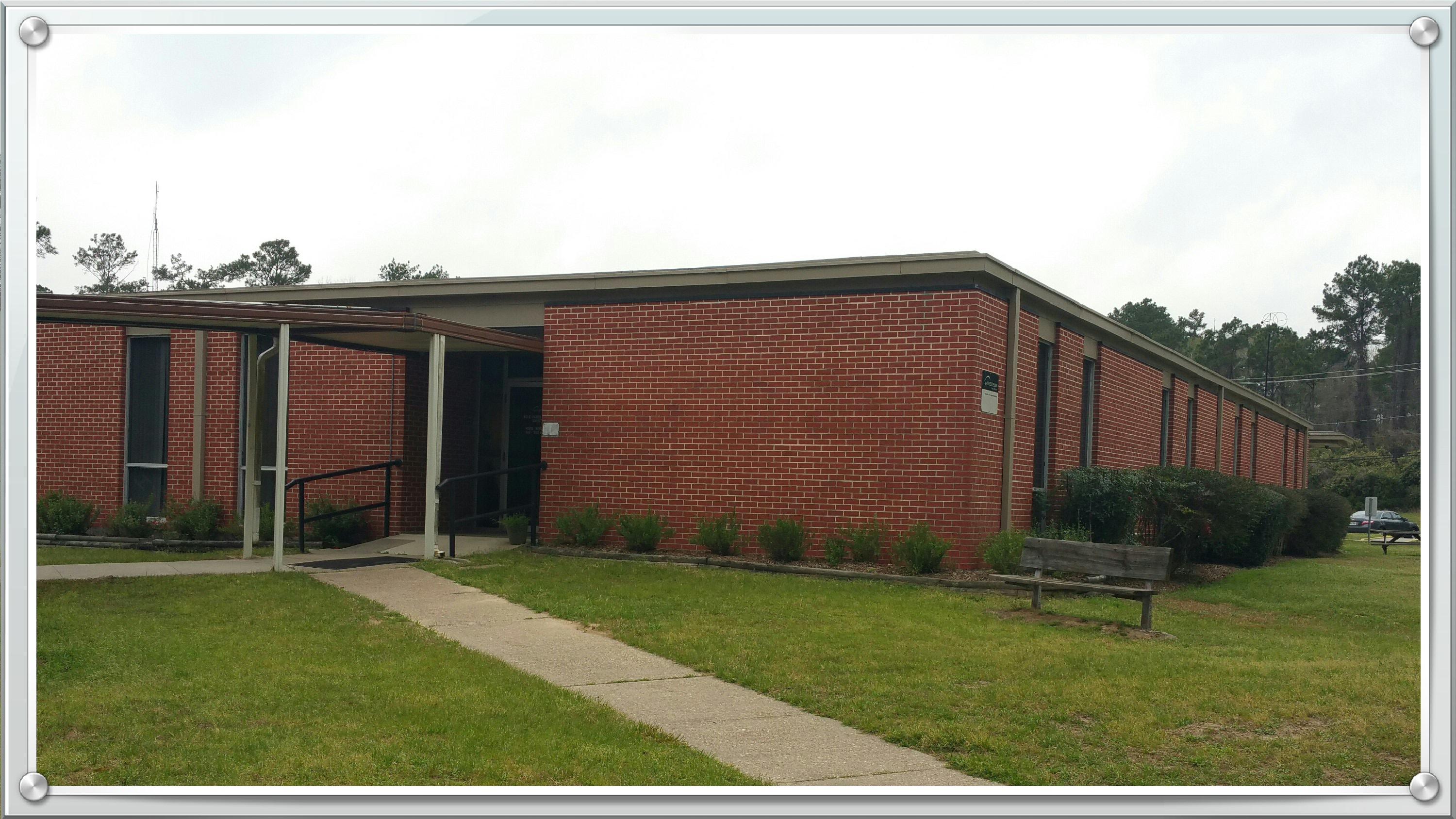
Polk County Mission: To provide quality, relevant outreach and continuing education programs and services to the people of this great County. The Texas A&M AgriLife Extension Services brings the resources of the Texas A&M University System to Polk County. Through field-based faculty, Extension provides unbiased, research-based information, educational programs, and technical assistance.
![4h_mark1[1]](http://counties.agrilife.org/polk/files/2011/04/4h_mark11.jpg) We educate Texans in the areas of agriculture, environmental stewardship, youth and adult life skills, human capital and leadership, and community economic development. Extension offers the knowledge resources of the land-grant university system to educate Texans for self-improvement, individual action and community problem solving. The Texas A&M AgriLifeExtension Service is a statewide educational agency and a member of the Texas A&M University System (TAMUS) linked in a unique partnership with the nationwide AgriLife Extension System and Texas County governments.
We educate Texans in the areas of agriculture, environmental stewardship, youth and adult life skills, human capital and leadership, and community economic development. Extension offers the knowledge resources of the land-grant university system to educate Texans for self-improvement, individual action and community problem solving. The Texas A&M AgriLifeExtension Service is a statewide educational agency and a member of the Texas A&M University System (TAMUS) linked in a unique partnership with the nationwide AgriLife Extension System and Texas County governments.
Extension values and promotes principles of citizen and community involvement, scientifically-based education, lifelong learning and volunteerism. Extension provides access to citizens in all 254 Texas counties and works cooperatively with the 10 universities and 8 state agencies of the Texas A&M University System and other state and local agencies to bring the necessary resources to Polk County that will address local issues and solve local problems.
_____________________________________________________________
You Tube Channel
https://www.youtube.com/c/AgriLifeExtensionPolkCounty

Visit us on Facebook:
Texas A&M AgriLife Extension – Polk County
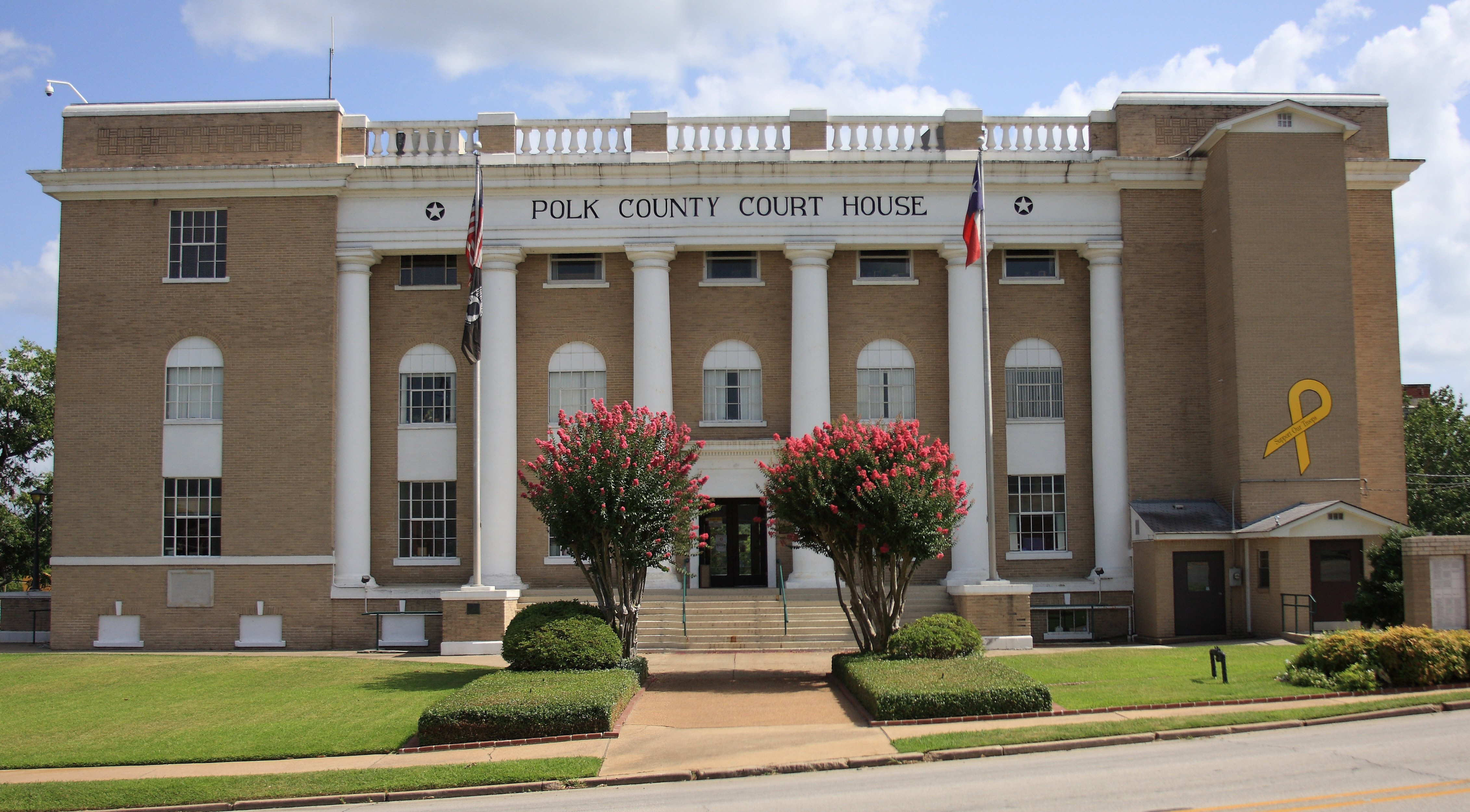
POLK COUNTY. Polk County (J-22) is in the East Texas Timberlands region on the east bank of the Trinity River. Its geographical center is at 94°50′ north latitude and 30°49′ west
longitude. The county seat, Livingston, straddles U.S. highways 59 and 190 about seventy-six miles northeast of Houston. The county comprises 1,061 square miles, ranging in elevation from 100 to 300 feet. The land gently rolls in the north and has light-colored, loamy surfaces and deep, reddish clay subsoils. To the south the topography is more level, with acidic, sandy to loamy surfaces and deep, reddish loam or clay subsoils. Along the Trinity River the soils are dark with loamy surfaces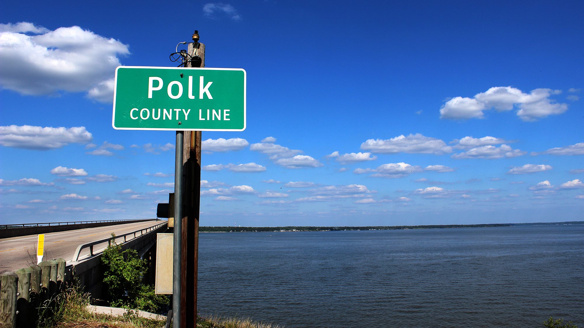 and cracking clay subsoils. Marine deposits indicate that the region was once under the sea. Pine and hardwood forests cover much of the area, but nearly 40 percent of the county is considered prime farmland. The Neches and Trinity rivers border the county, which is drained by seven primary streams: Menard, Sally, Tombigbee, Big Sandy, Long King, Piney, and Kickapoo creeks. Lake Livingston, a man-made reservoir on the Trinity River, covers 82,600 acres. The average annual temperature is 67° F. Precipitation averages forty-eight inches annually, and the growing season lasts 250 days.
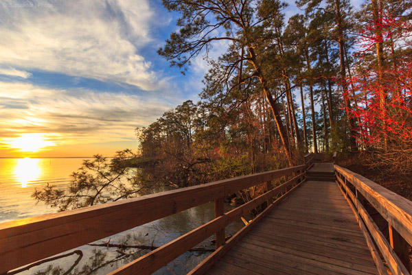
Before European settlement, Polk County was inhabited by the Hasinai Indians, a loose alliance of Caddo descent. The
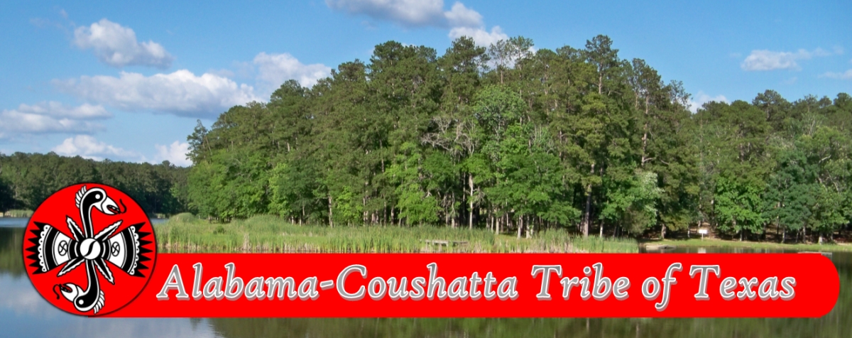
Alabama and Coushatta Indians crossed into the Big Thicket, which covered much of the region, from Louisiana in the late eighteenth century. Unlike the Hasinais, they remained in the county, living on land given to them by the state of Texas in 1854. The Alabama-Coushatta Indian Reservation, enlarged by the federal government in 1928, is east of Livingston on U.S. Highway 190. 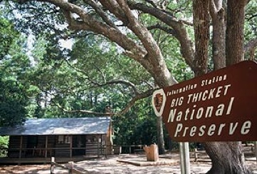 Three streams in Polk County bear the names of Coushatta chiefs-Long King, Long Tom, and Tempe.qqv A third group, the Pakana Muskogees, of Creek descent, settled in Polk County in 1834; many moved to Oklahoma in 1899, and the remainder have joined theAlabama-Coushatta Indians. The Big Thicket discouraged European settlement. Although the region now called Polk County was included in a vast royal land grant toPánfilo de Narváez as early as 1529, the Spanish largely neglected the area.
A few roads following Indian trails were completed through the district, but no settlers came. About 100 American and Hispanic families received land grants from various empresarios and companies between 1831 and 1834, but few actually settled the land. The census of 1834 recorded only seven families in the Trinity River settlement of Smithfield (see ACE, TEXAS).
Complete article at THSA Online
